Purpose
To develop the ability to query, combine and visualize data from a variety of sources and in many different formats, and to contribute to the sustainable operation of the FD data center.

Schematic data flows for Output 3. Blue arrows show infrastructure developed and installed; red arrows illustrate additional processing and analysis tools new in Phase II.
Background/ Justification
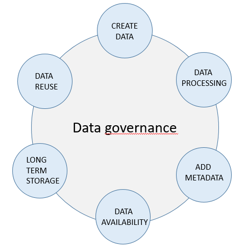
Integrated Water Resource Management requires good knowledge about water and quality and ecological status of waterbodies. Good data governance and safe storage of data are thus key to enable sustainable water resource management. For this purpose a modern data centre has been built at MONREC and a monitoring programme, Aquamonitor SI, established within this infrastructure. The users of Aquamonitor SI can retrieve and display monitoring data via a map and user defined data. The database holds data from a number of lakes and rivers and may be extended to cover any water body in Myanmar.
Activities
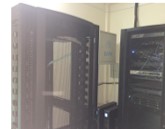
- Continued technical supervision of the data center at the Forest Department and the Aquamonoitor SI system,
- Establishment of the necessary infrastructure to allow secure access to the data center from outside of the FD;
- Development of data visualization products for reports and presentations
- Tools for data visualisation (e.g. QGIS) will be linked to the existing database platform, making it possible to combine water quality information with other relevant spatial datasets
- Selected staff will be given the opportunity to attend an international course on advanced data tools (e.g. GIS, Python, Jupyter, R) for complex queries e.g. spatio-temporal aggregation and interpolation, trend tests, modelling etc.